Springfield, Missouri, is home to an impressive network of Ozark Greenways trails, offering accessible outdoor adventures for everyone to enjoy. Whether you’re exploring serene wooded paths, scenic greenways or routes through bustling parks, these trails are mostly paved and designed to accommodate individuals of all abilities so you can experience the outdoors at your own pace.
Galloway Creek Greenway
The Galloway Creek Greenway is a popular destination for both locals and visitors, stretching from the south side of Springfield into the Ozarks. The trail is paved and spans over 5 miles, making it perfect for a leisurely walk, bike ride or wheelchair access.
The terrain is somewhat hilly but ensures easy navigation, and it's an excellent spot to enjoy local wildlife and the peaceful sounds of the creek. Along the way, you'll encounter scenic views and numerous access points to explore different parts of Springfield, including nearby parks and neighborhoods.
Accessibility: Walkers, runners, bicyclists, in-line skaters, wheelchairs, baby strollers
Wilson's Creek Greenway Trail
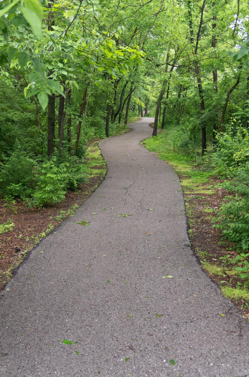
Wilson's Creek Greenway Trail offers accessible trails that allow visitors to explore the historic site. The trails are relatively compact and suitable for various abilities. As long as the conditions are dry, the trails are navigable.
Accessibility: Walkers, runners, bicyclists, in-line skaters, wheelchairs, baby strollers
South Creek Greenway Trail
The South Creek Greenway Trail runs east-west through the middle of Springfield and was designated as a National Recreation Trail by the National Park Service. The trail is paved and suitable for various activities, including walking, biking and wheelchair access.
Accessibility: Walkers, runners, bicyclists, in-line skaters, wheelchairs, baby strollers
James River Greenway/Trail of Honor
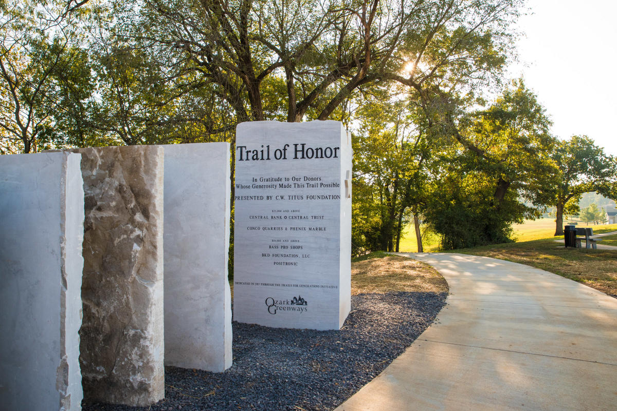 The James River Greenway currently features three one-mile segments, one connecting the James River iron bridge to Gasconade Avenue, another along the north bank of Lake Springfield Park, and the third, the Trail of Honor, which meanders along the James River and Missouri Veteran's Cemetery.
Accessibility: Walkers, runners, bicyclists, in-line skaters, wheelchairs, baby strollers
Fassnight Creek Greenway
The Fassnight Creek Greenway, located in the heart of the city, connects Fassnight Park to Phelps Grove Park and the Springfield Art Museum, with plans to extend further west. This trail is part of The Link, a 7-mile bicycle-pedestrian route that connects Doling Park to Twin Oaks Park. As you explore, you'll pass historic sites, such as Fassnight Park's native Ozarks rock architecture, wildlife-filled wooded areas and murals celebrating Missouri’s native flowers and pollinators.
Accessibility: Walkers, runners, bicyclists, in-line skaters, wheelchairs, baby strollers
Jordan Creek Greenway
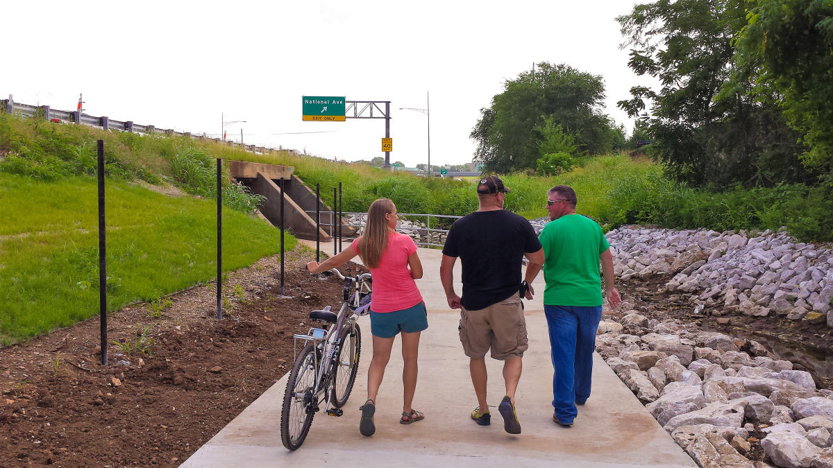
Springfield’s Jordan Creek Greenway offers over three miles of accessible trails, including traditional paths, side paths and short sections of on-street bike/sidewalk. The trail begins at Jefferson Avenue and stretches east through Jordan Valley Park, passing under Chestnut Expressway and running along the west side of the OTC campus, through Silver Springs Park, and onto Ewing Park. This park is where the Jordan Creek and Fassnight Creek Greenways will eventually merge with the Wilson’s Creek Greenway, creating an even larger network of accessible trails for the community.
Accessibility: Walkers, runners, bicyclists, in-line skaters, wheelchairs, baby strollers
Fulbright Spring Greenway
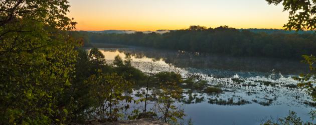
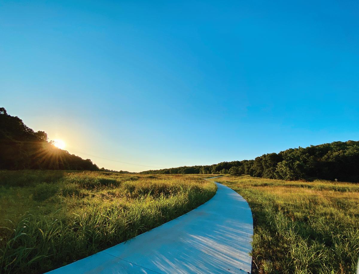 Photo courtesy of Ozark Greenways
The Fulbright Spring Greenway Trail is a beautiful and accessible trail that stretches nearly 7 miles, beginning at Ritter Springs Park and traveling east under Highway 13. The trail passes through the David C. Murray Trailhead and Lost Hill Park before reaching Truman Elementary School. A 1/4-mile section of the trail is located at The Watershed Center at Valley Water Mill, with plans to eventually connect this portion to the rest of the trail. If you're unsure where to start, the Lost Hill Park Trailhead provides the most paved section of the trail.
Accessibility: Walkers, runners, bicyclists, in-line skaters, baby strollers.
Ward Branch Greenway
 The Ward Branch Greenway Trail is a hidden gem in Springfield, offering two scenic sections that are both accessible and enjoyable for all. One section takes you from Burrell Center Lake to Twin Oaks Park and continues to The Library Center on Republic Road, with smooth, paved paths perfect for a relaxing walk or bike ride.
The other stretches two miles from Wanda Gray Elementary School to the River Bluff Cave Archeology Museum, near Rivercut Golf Course. This part of the trail meanders through a peaceful, wooded area along Ward Branch Creek, making it a beautiful escape into nature.
Accessibility: Walkers, runners, bicyclists, in-line skaters, wheelchairs, baby strollers
More Resources