When it comes to exploring the outdoors and learning about the history of the area, you can stay on the beaten path or take a walk on the wild side with trails for all skill levels and abilities in southwest Missouri. Here are a few suggestions.
The Link
An option for bike riders is using The LINK, a designated route along city streets that have low traffic volume and slow speed. The LINK consists of Ozark Greenways trails along with other pathways connecting neighborhoods, business centers and modes of transportation.
Springfield Conservation Nature Center

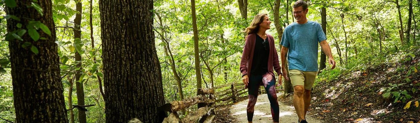
Escape the city without leaving city limits at the Springfield Conservation Nature Center. Three miles of walking trails provide opportunities for tree and plant identification, bird watching and spotting animals native to the Ozarks.
African-American Heritage Trail
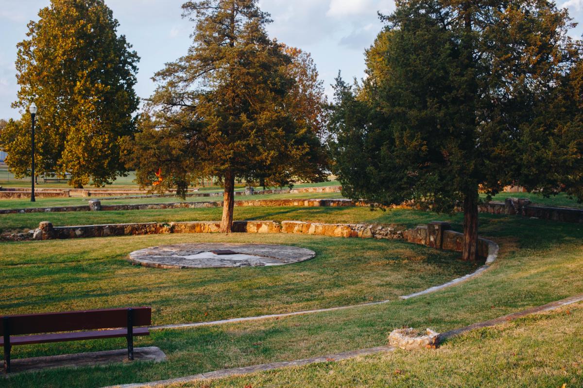
The developing Springfield-Greene County African-American Heritage Trail is comprised of 20 sites dedicated to the area’s African-American history. At each site, a descriptive plaque has been placed or will be placed in the future.
Ozark Greenways

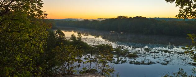
Ozark Greenways offers a diversity of trails including rails-to-trails, paved, gravel, natural-surface and a water trail. With more than 140 miles of trails crisscrossing Springfield’s terrain and connecting other communities to the city, recreational opportunities are available for people of all ages and abilities.
Related Post: Six Scenic Ozarks Hikes
Trail Of Tears
The Trail of Tears, a National Historic Trail, took several routes across the nation and the route through Missouri included Springfield. Portions of the trail can still be seen in the area, includ- ing at Wilson’s Creek National Battlefield and the Trail of Tears Park in Battlefield. Two half-mile sections of the Trail of Tears Greenway are found near Republic Road and Golden Avenue and another completed segment that parallels the Trail of Tears begins at Nathanael Greene/ Close Memorial Park and continues south to Battlefield Road.
Wilson's Creek National Battlefield
The paved tour road through Wilson’s Creek National Battlefield includes a wide path for bikers and walkers. Other trails throughout the park offer ways to explore the historic sites and scenery. The battlefield also has trails for equestrian experiences.
Dirt 66 Mountain Bike/Walking Trail
More than 10 miles of interconnecting natural surface trail through the woods by Fellows Lake is completed on the Dirt 66 project. It offers views of the lake for hikers, runners and mountain bikers. The first trail segment opened in 2020 with the entire 33-mile project expected to be finished in 2022.
Greer Spring Trail
You’ll be in awe when you reach Greer Spring, the second largest spring in Missouri. Access to the spring is via a .9-mile trail that descends about 250 feet along a gentle gradient from the trailhead at Missouri Highway 19.
Lakeview Trail
This trail goes around Stockton Lake and provides spectacular views of the lake popular for sailboating and other water activities. It passes through State Park beach and joins the Umber Ridge trail. Plan on at least six hours to complete the trial.
Dogwood Canyon Nature Park
This 10,000-acre unspoiled paradise offers several opportunities for biking, horseback riding, Segway tours, tram tours and private tours of the park’s natural waterfalls, greenery and open fields filled with roaming buffalo.
Henning Conservation Area
Much of this 1,534-acre area consists of steep hills covered with forest interspersed with a series of scenic glades that make up the White River Balds Natural Area. The area also includes a small section of bottomland forest along a one-half-mile stretch of Roark Creek.
Chadwick Motorcycle and ATV Use Area
Nearly 80 miles of multi-use trails for ATV, UTV, motorcycles and mountain bikes wind in and out of deep, forested hollows and down long ridge tops.
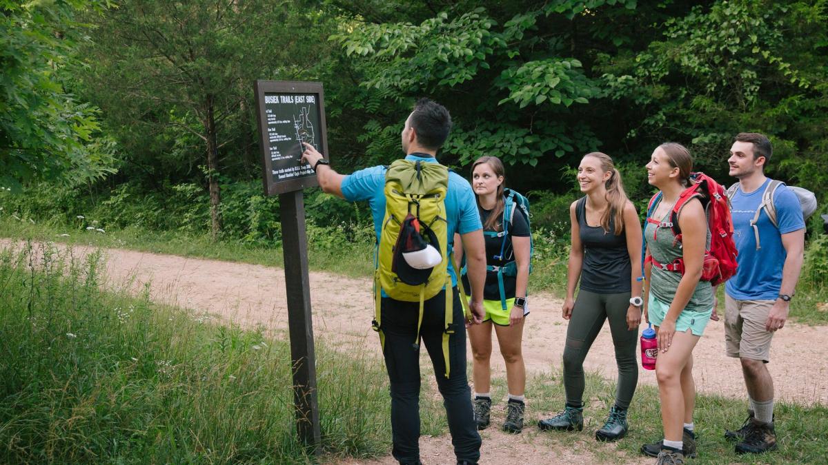
Busiek State Forest and Wildlife Area
A well-marked trail system provides approximately 18 miles of trails for use by hikers, bicyclists and horseback riders. Camping is only permitted with a permit available through the Southwest Regional office.
Related Post: Check Out These Hiking, Biking and Walking Trails Around Springfield
Cedar Gap Conservation Area
Visitors can explore the headwaters of Bryant Creek, view limestone glades and explore the forest at this conservation area.
37 North Expeditions
Leave the city and explore the area’s well-known trails with the assistance of professional guides who know the ins and outs of the Ozarks. From easy to expert levels, 37 North Expeditions helps people enjoy Lost Valley Hiking Trail, Sam’s Throne Trail and many others known for breathtaking scenery that includes lakes, waterfalls, herds of wild horses and more.
Big Piney Trail
Be sure to bring water and a map, because hiking Big Piney Trail means you’re hiking in the wilderness. Signs and trail markings are sparse, there are no bridges across the creeks and the trail may be rough. It also means delightful solitude is almost guaranteed in the beautiful Mark Twain National Forest.
More Resources


Itineraries
Explore curated itineraries featuring attractions, dining, entertainment, and...
Visit Page