Hit the trails and dive deep into the natural beauty of the Ozarks with this list of the top treks around Southwest Missouri.
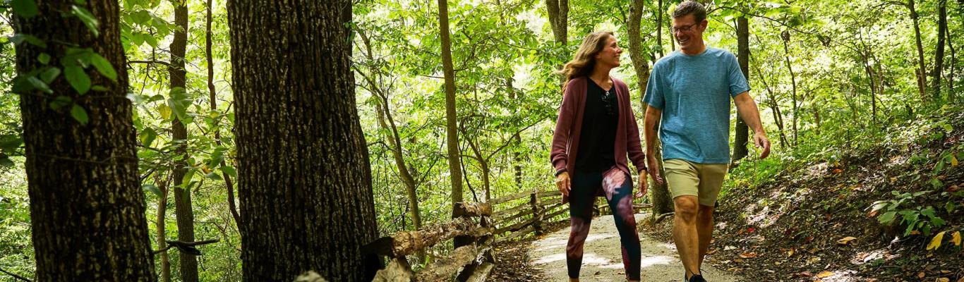
Springfield African-American Heritage Trail
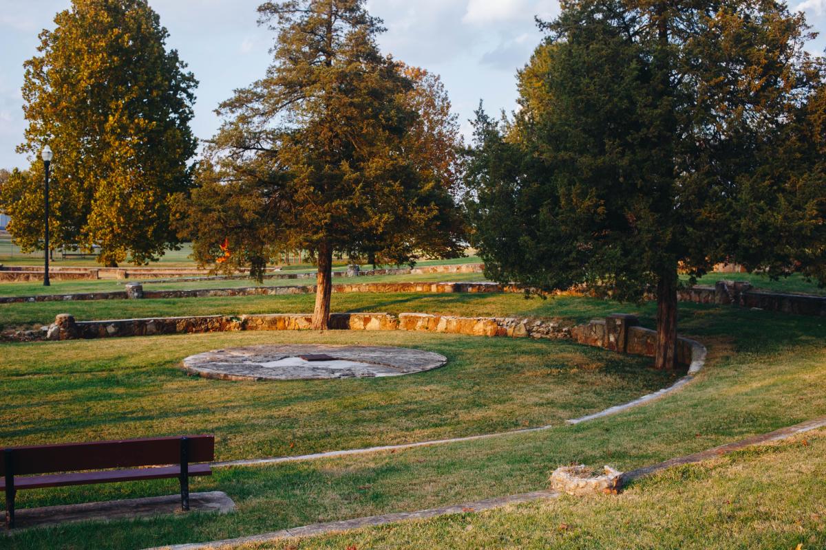 Photo courtesy of the Springfield-Greene County Park Board
Town: Springfield
Distance: 2 miles
Difficulty: Easy
This hike through Springfield provides a chance to see local African-American historical sites such as Church Square South, the former Lincoln High School and more.
Cedar Gap Conservation Area
Photography by Joshua Miller
Town: Mansfield, 45 miles east of Springfield
Distance: 3/8 mile or 1.6 miles
Difficulty: Easy to moderate
The plateau at Cedar Gap is the second highest point in Missouri, and hiking the area gives you a firsthand view. The ⅜-mile gravel trail goes to an overlook. For more of a challenge, hikers continue on the 1.6-mile loop to view the remains of the limestone quarry.
Related Post: Take A Hike On These Ozarks Trails
Dogwood Canyon Nature Park
 Town: Lampe, 60 miles south of Springfield
Distance: 6.5 miles
Difficulty: Easy
This is more of a walk than a hike, but this paved trail is perfect for kids. You can spot caves, streams full of fish, waterfalls and a variety of wildlife. This hike requires admission to the park.
Greater Ozarks Audubon Trail
Town: Springfield
Distance: 1.4 miles
Difficulty: Easy
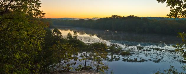
This hike is short, but the views of Lake Springfield are hard to beat. There’s a rocky overlook at the top that’s a popular lookout spot. The view looks down at the lake and the James River, which means you can spot wildlife.
Springfield Conservation Nature Center
 Town: Springfield
Distance: Multiple Trails
Difficulty: Easy
These trails offers observation decks, a view of Galloway Creek and glades. If you keep an eye out, you might be able to catch some sightings of native birds, turtles, deer and more.
Lakeview Trail
Town: Stockton, 50 miles northwest of Springfield
Distance: 8 miles
Difficulty: Moderate
This hike is friendly for hikers or bikers. Take the full 8-mile loop, or take in a smaller loop through a trail connector. During the winter, these bluffs are great places to spot bald eagles.
Related Post: The Ideal Outdoor Itinerary to Springfield, Missouri
Busiek State Forest and Wildlife Area
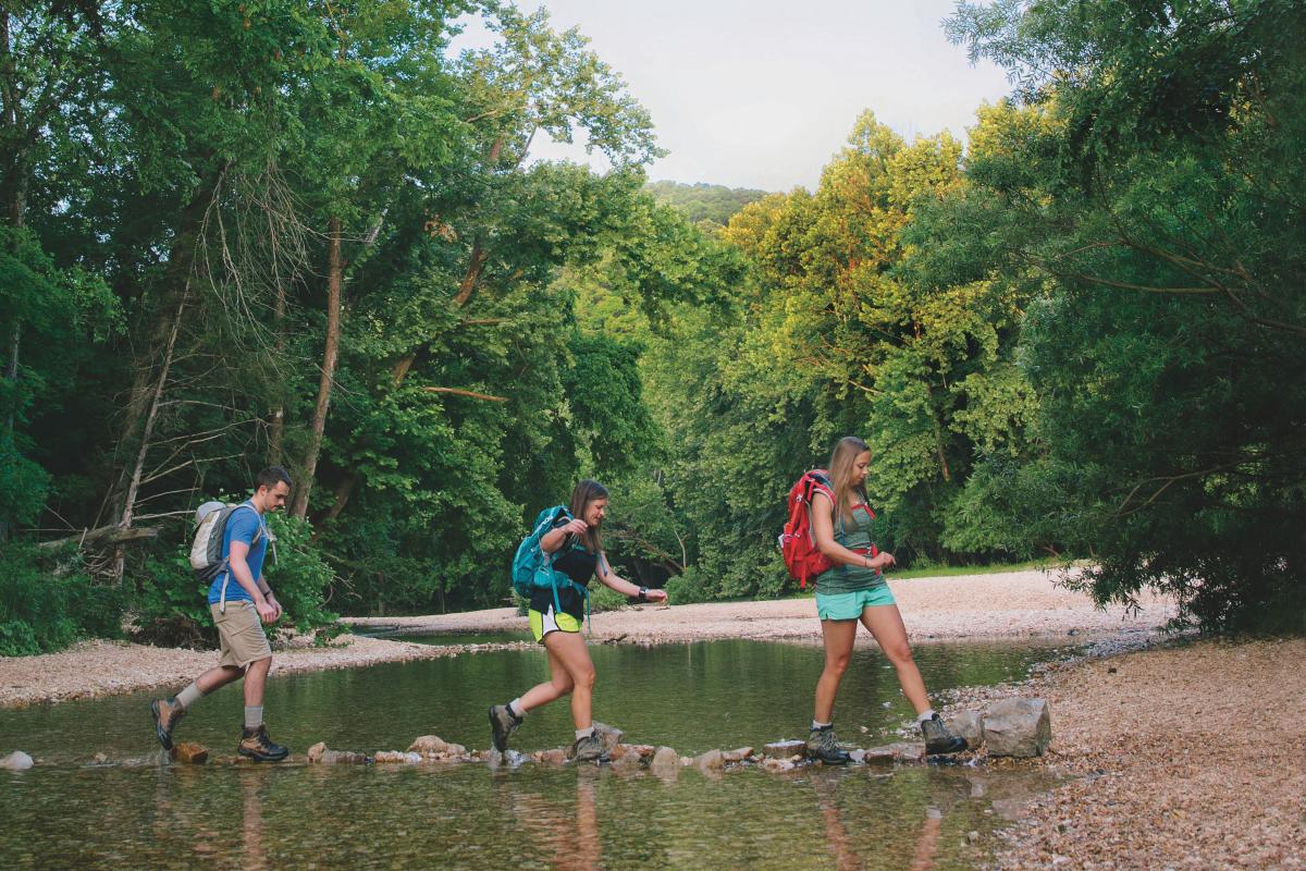 Town: Highlandville, 25 minutes south of Springfield
Distance: Trails range in length
Difficulty: Easy to moderate
The 2,502-acre area has 18 miles of trails. Several of the trails have water crossings. If you want to cool off in summer, skip the hike and splash in the streams.
Wilson's Creek National Battlefield
Photography by Michelle Houghton
Town: Republic, 13 miles from Springfield
Distance: 4.9 miles
Difficulty: Easy
A paved road for hiking, biking or driving provides a tour of this national battlefield. There are interactive stops where you can learn about this historical site, plus five walking trails.
More Resources


Itineraries
Explore curated itineraries featuring attractions, dining, entertainment, and...
Visit Page